
Indiana Land Survey Drafting
Land Survey Drafting in Indiana
Land survey drafting in Indiana for Professional Surveyors. From your field data and records, we prepare survey plats, Surveyor Location Report drawings, and subdivision sheets in your CAD template, with check prints for your direction and review.

Overview
What is Land Survey Drafting in Indiana?
Indiana surveyors use different drawing formats for plats of survey, Surveyor Location Reports, and subdivisions. We draft these sheets from your field data, deeds, and recorded surveys, retaining the source references and boundary decisions you provide.
Under 865 IAC 1-12, dimensions not measured carry source labels such as "Rec" or "Calc. Rec." We distinguish those values from your measurements and keep annotation legible at recording size. Send the land-description and corner-record references the job relies on.
Our land survey drafting services include Surveyor Location Report drawings and ALTA/NSPS plats. Before work starts, confirm that the arrangement meets Indiana's employment and supervision rules in 865 IAC 1-12-3 and 1-7-2. The Professional Surveyor directs drafting, makes professional decisions, and alone certifies, signs, and seals.
At a glance
- LicenseeProfessional Surveyor (IC 25-21.5)
- Standards865 IAC 1-12, readopted 2024
- State planeIndiana East or West zone (IC 32-19)
- County gridsInGCS, one low-distortion zone per county
- DeliveryDWG, DGN, or PDF, legible at recording size
- Your roleYou write the surveyor's report and seal the survey
What we deliver
What's included in Indiana Survey Drafting
Provide your field data, record research, coordinate basis, and plan commission or recorder checklist. We draft the required Indiana sheets for your review.
Plat of Survey Drafting
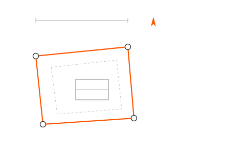
Retracement and original survey plats with bearings, area, source labels, and found or set monument descriptions from your data.
Surveyor's Report Sheets
Report-sheet layout beside the plat. You write the theory of location and opinion of uncertainty; we place your approved text and supporting references.
Surveyor Location Report Drawings
SLR drawings for your title-insurance reports on qualifying one-to-four family residential tracts, with the certificate wording and sheet format in 865 IAC 1-12-29.
ALTA/NSPS Survey Drafting
Land title survey plats with your contracted Table A items and applicable Indiana details, including drain information and adjoining gaps or overlaps you identify.
Primary & Secondary Plat Drafting
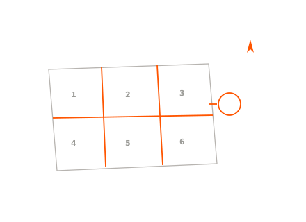
Subdivision plats for primary and secondary approval, where applicable, with the parent-tract survey reference and local approval blocks.
Route Survey Plat Drafting
Highway, railroad, pipeline, and electric-line acquisition plats on your chosen coordinate or station-and-offset basis, with monument and owner information you supply.
Topographic Survey Drafting
Topographic maps from supplied field or LiDAR points, with the 865 IAC 1-12-12(f) note where applicable. You determine the map's scope and survey status.
Plot Plans & Easement Exhibits
Plot plans, deed plots, and easement exhibits from your descriptions and record lines, with the applicable nonboundary note.

Why it matters
How Indiana rules shape a survey drawing
The drawing requirements in 865 IAC 1-12 and coordinate provisions in IC 32-19 guide sheet setup. Supply the survey class, report text, coordinate note, and certificate wording your Professional Surveyor has determined for the job.
County recording and plan-commission requirements also affect the drawing. Send the current checklist and any conditions of approval. For Marion County work, we carry the required assessor, owner, and surveyor blocks into the recording plat for your review.
Specify Indiana East or West, or the job's InGCS county zone. We retain that coordinate basis across related sheets.
Supply the system, zone, datum, realization, units, and NSRS tie information for the coordinate note. InGCS uses county-specific zones.
We show lakes, streams, regulated drains, and drain rights-of-way from your supplied survey information, including the applicable 75-foot context.
Found and set monument labels follow your records. Provide the character, dimensions, ground relationship, and control status to show on the plat.
Tell us the recording deadline and required sequence for the plat and surveyor's report. We prepare review sheets and revisions to the agreed schedule.
You control the signature and seal. Supply any required "Not a Certified Document" or "Pro Forma Survey" wording for electronic files issued without an electronic signature.
Where it applies
Industries We Serve
Surveying Firms
Plat and surveyor's-report drafting for Professional Surveyors in Indianapolis, Fort Wayne, Evansville, South Bend, and statewide.
Title & Mortgage
SLR drawings for surveyors reporting to title insurers on qualifying residential loan transactions.
Land Development
Primary, secondary, and recording plats for the project surveyor, with local approval conditions carried into the sheets.
Transportation & Utilities
Route survey plats for surveyors on transportation and utility acquisitions, using the project's coordinate basis.
Agriculture & Rural Land
Rural tract drawings from the surveyor's field data, with drain and right-of-way information shown as instructed.
County Surveyor Filings
Corner perpetuation and legal survey record-book drawings for surveyors filing with the county surveyor.
How it works
Our End-to-End Process
Scope & Standards
You tell us the job type, survey class, county, coordinate system, and the plan commission or recorder checklist that applies.
Data Transfer
Send field data, coordinate files, deeds, prior recorded surveys, the title commitment, and your CAD template and title block.
Drafting
We draft linework, annotation, curve data, and notes in AutoCAD, Civil 3D, or MicroStation.
Quality Check
We check closure, labels, and notes against your data and the 865 IAC 1-12 items, then send PDF check prints for your redlines.
Approval & Delivery
We revise until you approve, then deliver the final DWG, DGN, or PDF files to you. You decide what to certify and release.
Why Arcengine
Why Choose Us
Fixed Price, No Hidden Costs
We set the price before work starts and add no charges later.
Clean, Checked Drawings
Clear linework and legible labels, checked against your field data before you see them.
Experienced Survey Drafters
Our team has drafted for surveying firms in the U.S. and abroad.
Deadlines Kept
We agree on the deadline with you before work starts, and we meet it.
Open to Feedback
We take your redlines and rework the drawing until it matches what you need.
Your Software & Templates
We work in AutoCAD, Civil 3D, and MicroStation, on your title block and layer standards.
Start with a Pilot Project
Send one pilot job and assess our drafting against your standards before committing to more work.
You Stay Surveyor of Record
We draft to your instructions. You direct the work and decide what is certified.
Explore more
Our Other Services
FAQ
Frequently Asked Questions
No. Arcengine holds no Indiana surveyor registration and supplies CAD drafting only. It does not survey land or act as the Professional Surveyor. The registered surveyor directs drafting, decides what is certified, and signs and seals the survey. Property owners should engage an Indiana Professional Surveyor.
Indiana treats converting survey measurements into maps and electronic data as surveying. Rule 865 IAC 1-12-3 expressly includes drafting among the work a surveyor must personally plan and supervise. Its supervision definition requires participants to be regular employees of the surveyor, the surveyor's employer, or another registered surveyor. Rule 1-7-2 restricts sealing to the registrant's work or that of regularly employed, directly supervised subordinates. Rule 1-12-3(g) further limits whose work may be sealed, including a narrow case for added work based on another registrant's certified survey on the same project. Confirm the outside-drafting arrangement with the board or your attorney before sending a job; final review alone does not resolve these employment restrictions.
Yes. Specify Indiana East, West, or the appropriate InGCS county zone and units. We label the system, datum, realization, and tie method you provide. Use your approved project control and name the coordinate basis for every multi-county job.
Yes, the drawing portion. Send the field data, report scope, and certificate text for the SLR you will certify. We use the required sheet format and show the information you approve. You determine whether the tract qualifies and whether any uncertainty note or explanation is required.
Yes. Send the primary or secondary approval conditions and the current local checklist. For Marion County, that can include approved addresses, assessor and owner blocks, dedication statements, covenants, and your surveyor stamp area. We revise the recording plat to your instructions; the authorities decide approval and recording.
Project assurance
How your project is handled.
We work from your field data, templates and instructions. You direct, review and approve the drawings.
How we protect project information- In-house delivery
- An Arcengine drafting team handles your work.
- NDA protection
- Project information handled under an NDA.
- E&O insured
- Professional liability insurance in place.
- CAD standards checked
- Drawings checked against your templates and markups.
Get in touch
Land survey drafting in Indiana, for your review
Send field data, deeds, prior surveys, and the county and coordinate basis. We return DWG, DGN, or PDF drawings for your review, with professional certification remaining yours.