
Architecture
As-Built Drawings
Turn field conditions into clean, accurate record drawings. We document a building the way it was actually constructed, working from field measurements, laser scans, old drawings, and site photos, and deliver it in DWG, PDF, and RVT.
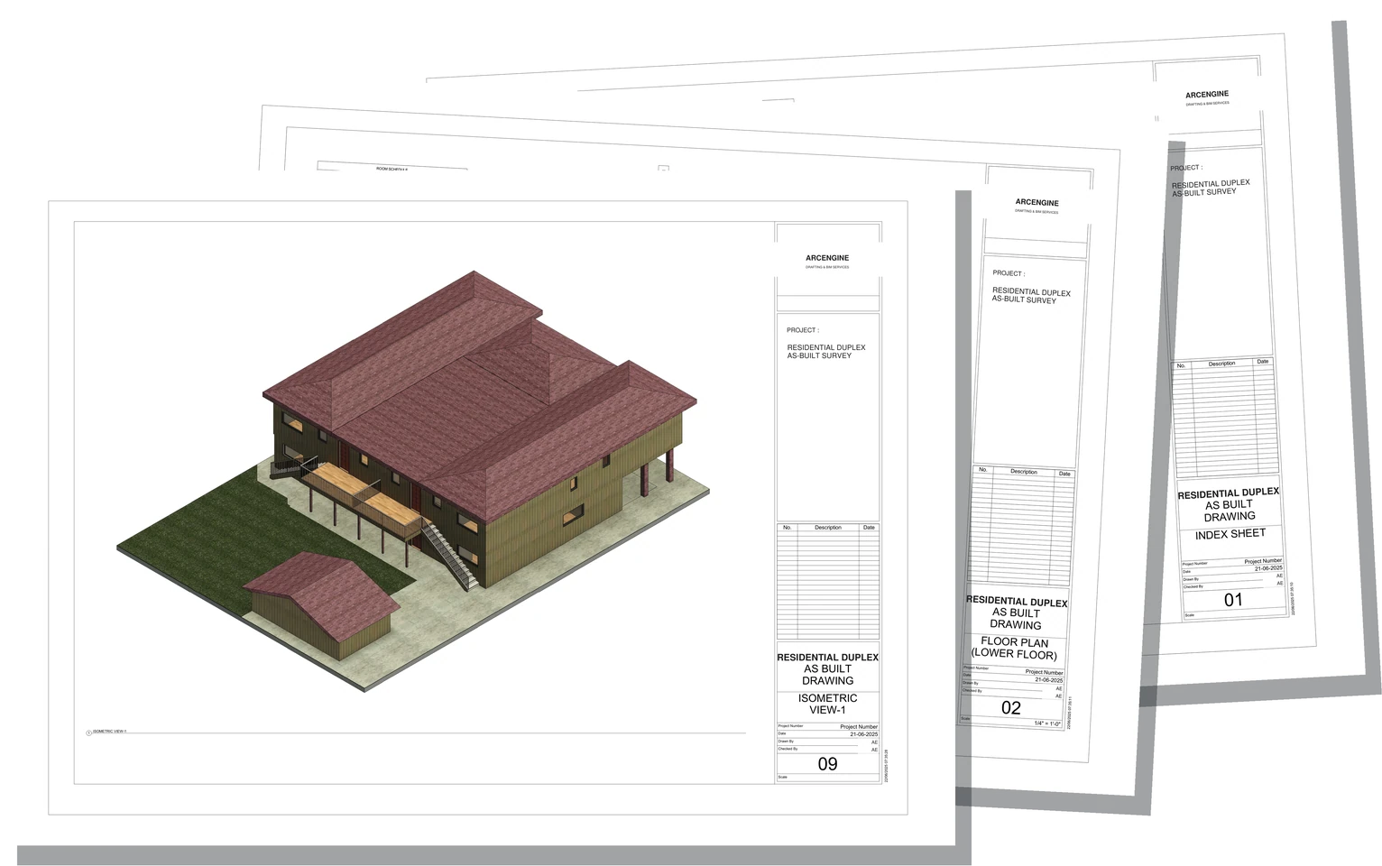
Overview
What are As-Built Drawings?
As-built drawings are record drawings that document a building's existing conditions as constructed, which often differ from the original design. Over a building's life, walls move and services get rerouted, so the original drawings stop matching what is on site. An as-built set gives you a dimensioned, verified picture of the building as it stands today.
We produce that record from whatever you can supply: field measurements, laser scans and point clouds, old or legacy drawings, and site photos. We reconcile those sources, verify the dimensions, and redraw everything cleanly to your CAD or BIM standards so the set is ready to design and build from.
The finished set is a reliable baseline for renovation, retrofit, fit-out, and facility management, delivered in DWG, PDF, and RVT. Where inputs conflict or a scan has gaps, we flag the assumption on the drawings, so you always know how each part of the set was derived.
What we deliver
What's included in an As-Built Set
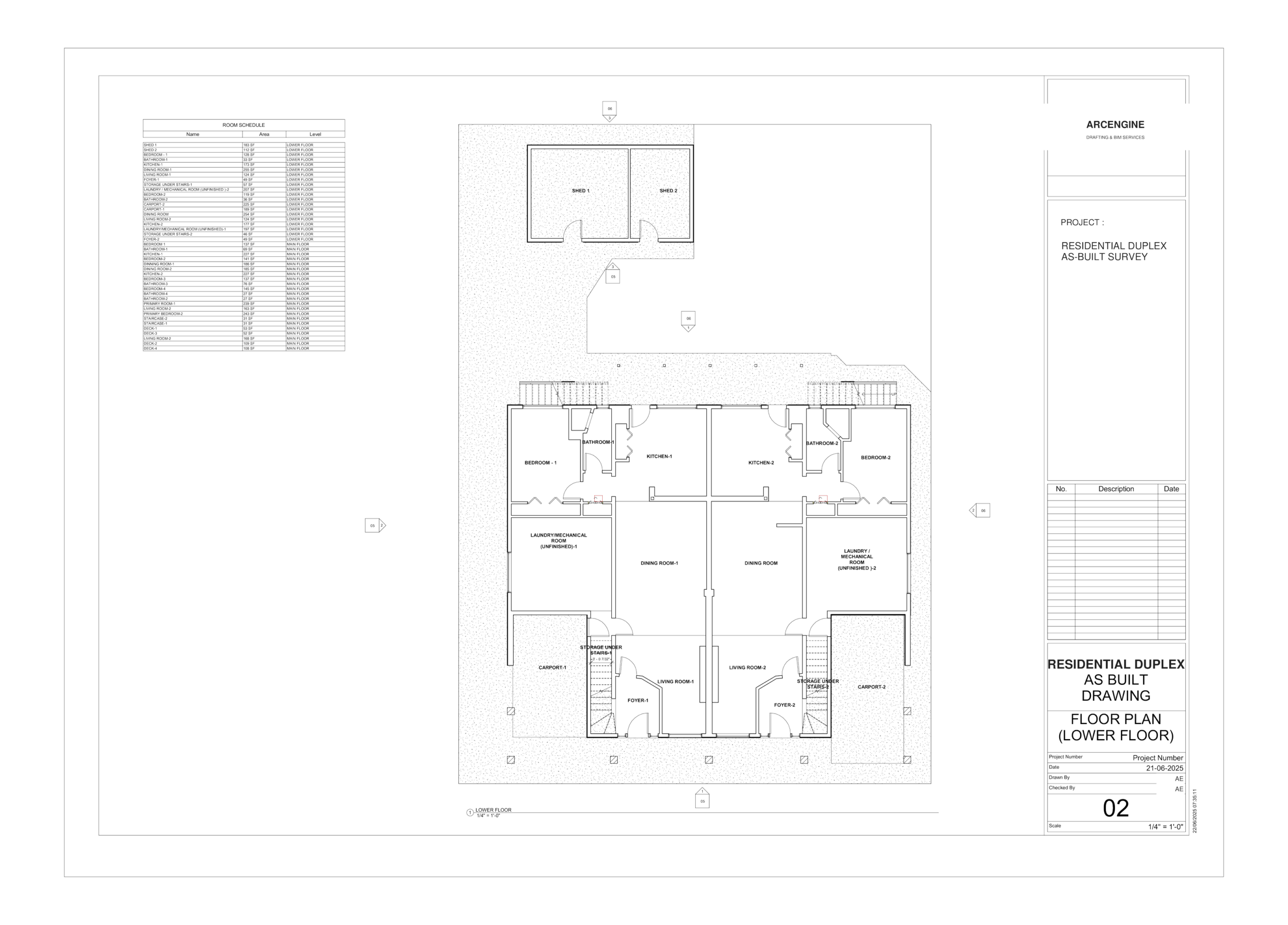
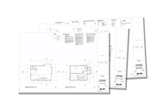
Every record set is redrawn clean and checked against the source data: plans, elevations, sections, and ceiling layouts that reflect the building as it stands, dimensioned and delivered to your standards.
-
As-Built Floor Plans
Dimensioned plans for every level with real wall thicknesses, rooms, doors, and windows as measured.
-
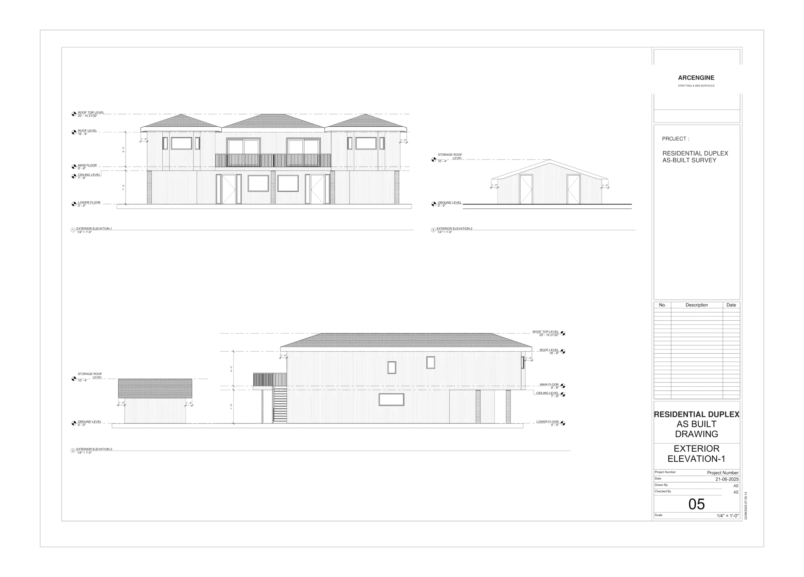
Elevations & Sections
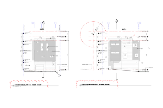
Exterior elevations and building sections that record heights, openings, and assemblies as constructed.
-
Reflected Ceiling Plans
Ceiling grids, heights, and fixture layouts captured from the existing ceiling condition.
-
Existing MEP Layouts
Visible mechanical, electrical, and plumbing routing recorded as observed on site.
-
Site & Dimension Verification
Field or scan dimensions cross-checked so the drawn geometry matches the real building.
-
Redrawn Legacy Drawings
Old, marked-up, or scanned drawings rebuilt into clean, editable CAD updated to current conditions.
-
Point-Cloud to CAD/BIM
Registered point clouds traced into 2D CAD or a Revit model at your preferred level of detail.
Where we start
How we capture existing conditions
The accuracy of a record set depends on what it is built from. We work from whichever of these sources you have, reconcile them, and redraw everything to a single, consistent set.
01
Measured Field Survey
Hand or disto measurements taken on site to record real dimensions, heights, and openings.
02
Laser Scan / Point Cloud
Registered scan data in formats such as E57 and RCP, traced into accurate CAD or BIM geometry.
03
Existing / Legacy Drawings
Old CAD, PDF, or paper drawings rebuilt and updated to match the current building.
04
Site Photos & Sketches
Reference photos and field sketches used to confirm layout, finishes, and hard-to-reach detail.
Why it matters
Why are As-Built Drawings necessary?
Every measurement in a renovation design leans on the existing conditions. If that baseline is wrong, the errors surface later on site as clashes, misfits, and change orders. An accurate as-built set removes that risk at the start.
It also gives everyone a shared, verified record of the building for pricing and coordination, and for maintenance long after the project is finished.
-
You cannot design a renovation without accurate existing conditions to build the new work onto.
-
A verified record reduces surprises and change orders once construction starts on site.
-
Retrofit, fit-out, and additions start from it, so new design fits the real building.
-
Owners need it for records and facility management, as a reliable drawing of what they hold.
-
It resolves conflicts between old drawings and the real building using measured site data.
-
For alteration permits, it documents the existing condition the authority needs to see.
Where it applies
Industries We Serve
-
01
Architects & Designers
A measured, verified base drawing to design renovations and additions onto with confidence.
-
02
Renovation & Retrofit
Accurate existing conditions for remodels, retrofits, and adaptive reuse of older buildings.
-
03
Facility Managers
Up-to-date record drawings of the building for operations, maintenance, and space planning.
-
04
General Contractors
A reliable field-checked baseline that reduces surprises and rework during construction.
-
05
Real Estate & Property
Documented existing conditions for due diligence, leasing, and portfolio records.
-
06
Retail & Hospitality Fit-out
Accurate tenant and shell conditions for fast, coordinated fit-out design.
-
07
Surveyors & Scanning Firms
Point-cloud and field data turned into clean, deliverable CAD and BIM record sets.
How it works
Our End-to-End Process
01
Review the Inputs
We assess your field measurements, scans, old drawings, and photos, and confirm scope and level of detail.
02
Verify & Organize the Data
We reconcile the sources, register scan data, and resolve conflicts before any drawing begins.
03
Draft the Record Set
We redraw plans, elevations, sections, and ceilings cleanly to your CAD or BIM standards.
04
Quality Check Against Source
Every drawing is checked back against the point cloud or field data, and assumptions are flagged.
05
Deliver in Your Formats
We issue the final record set in DWG, PDF, and RVT, ready to design and build from.
Why Arcengine
Why Choose Us
Accurate to the Field
Drawings that match the real building, checked back against your measurements or scan data.
Works from Any Source
Field notes, laser scans, legacy drawings, or photos, reconciled into one clean record set.
Scan & Point-Cloud Capable
Comfortable with E57 and RCP point clouds, tracing them into precise CAD and Revit geometry.
Works to Your Standards
Your title blocks, layers, and CAD or BIM standards, followed exactly.
Fast, Reliable Turnaround
Efficient workflows that turn survey data into a usable record set on schedule.
Confidential & Secure
Your drawings, scans, and project data handled securely and privately.
Explore more
Our Other Services
FAQs
Frequently Asked Questions
As-built drawings document a building's existing conditions as actually constructed. A typical set includes floor plans, elevations, sections, reflected ceiling plans, and existing MEP layouts as observed, with verified dimensions keyed to the source data.
We work from measured field surveys, laser scan or point-cloud data, existing or legacy drawings, and site photos and sketches. Clearer inputs produce a more accurate record set, and we can combine several sources on one project.
Yes. We convert registered point-cloud data in formats such as E57 and RCP into 2D CAD drawings and, where needed, a Revit model at your preferred level of detail.
Accuracy follows the source. Drawings from laser scans or careful field measurement are checked against that data before delivery. Any areas that were not accessible or measurable are flagged, so you can see where assumptions were made.
We deliver native DWG, PDF, and RVT, prepared to your title blocks, layers, and CAD or BIM standards.
Yes. We follow your title blocks, templates, layers, and naming rules. You approve a sample sheet before full production, so the record set drops straight into your workflow.
Where an old drawing is unreadable or a scan has gaps, we note the assumption or query rather than guess. We flag these areas on the drawings and confirm them with you before the set is finalized.
Yes. We keep all project files, scans, and drawings strictly confidential and manage the data securely.
Get in touch
Existing conditions, documented clearly
Send your field measurements, scans, old drawings, or site photos. We will confirm the scope and level of detail, then return a clean, verified as-built set in DWG, PDF, and RVT.