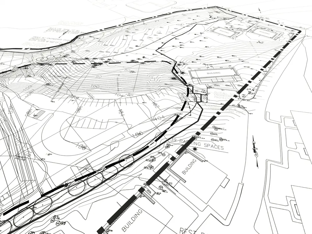
Before commissioning a land survey, agree on what decisions the project needs to support. A boundary survey, a topographic survey and drafting from existing records serve different purposes.
1. Define the mapping scope
Explain the proposed work, site location and required deliverables to the surveyor. Identify whether the team needs boundaries, elevations, visible improvements, utility information or other features. Confirm what is included and what requires further investigation.
2. Understand the boundary evidence
Fences, imagery and an online parcel outline should not be treated as a professional boundary determination. The surveyor assesses the relevant records and field evidence for the work.
For an example of professional scope and consumer questions, see the California board's guide to selecting an engineer or land surveyor. Check the applicable state board for requirements in the property's location. Legal ownership or title questions may also need an attorney or title professional.
3. Engage the right licensed professional
Check the surveyor's licence with the relevant state board and agree on the scope, delivery dates, exclusions and fees. Ask who will be responsible for professional decisions and final documents.
A CAD drafting provider supports the drawing work. Drafting support should not be mistaken for independently offering a field survey, establishing a boundary or certifying the result.
4. Ask whether aerial data is suitable
Drone imagery can support some mapping tasks, but suitability depends on the site, capture method, required accuracy and the surveyor's scope. Vegetation and obstructions can limit what is visible.
Ask the field-survey provider about the capture and checking process. In the U.S., the flight operator must also follow the applicable FAA rules for commercial drone operations. Aerial data does not replace boundary research or professional judgement.
5. Use the survey within a wider feasibility review
Survey information can help the design team understand site conditions and develop a proposal. Development feasibility also depends on planning rules, access, utilities, environmental constraints, engineering and other project-specific matters.
A survey alone does not guarantee planning approval, settle every title question or prove that a proposal is financially viable. Identify which specialists and approvals the project needs before committing to construction.
Arcengine provides CAD drafting support for surveyors using supplied field data, records and instructions. Share the surveyor's templates, required features and redlines so the drawing can be prepared for their review.